
Report Trail Conditions: Track Damage on Hiking & Forest Trails
Track trail conditions such as fallen trees, erosion or damaged bridges.
Podívejte se v praxi
Od sběru dat k poznatkům
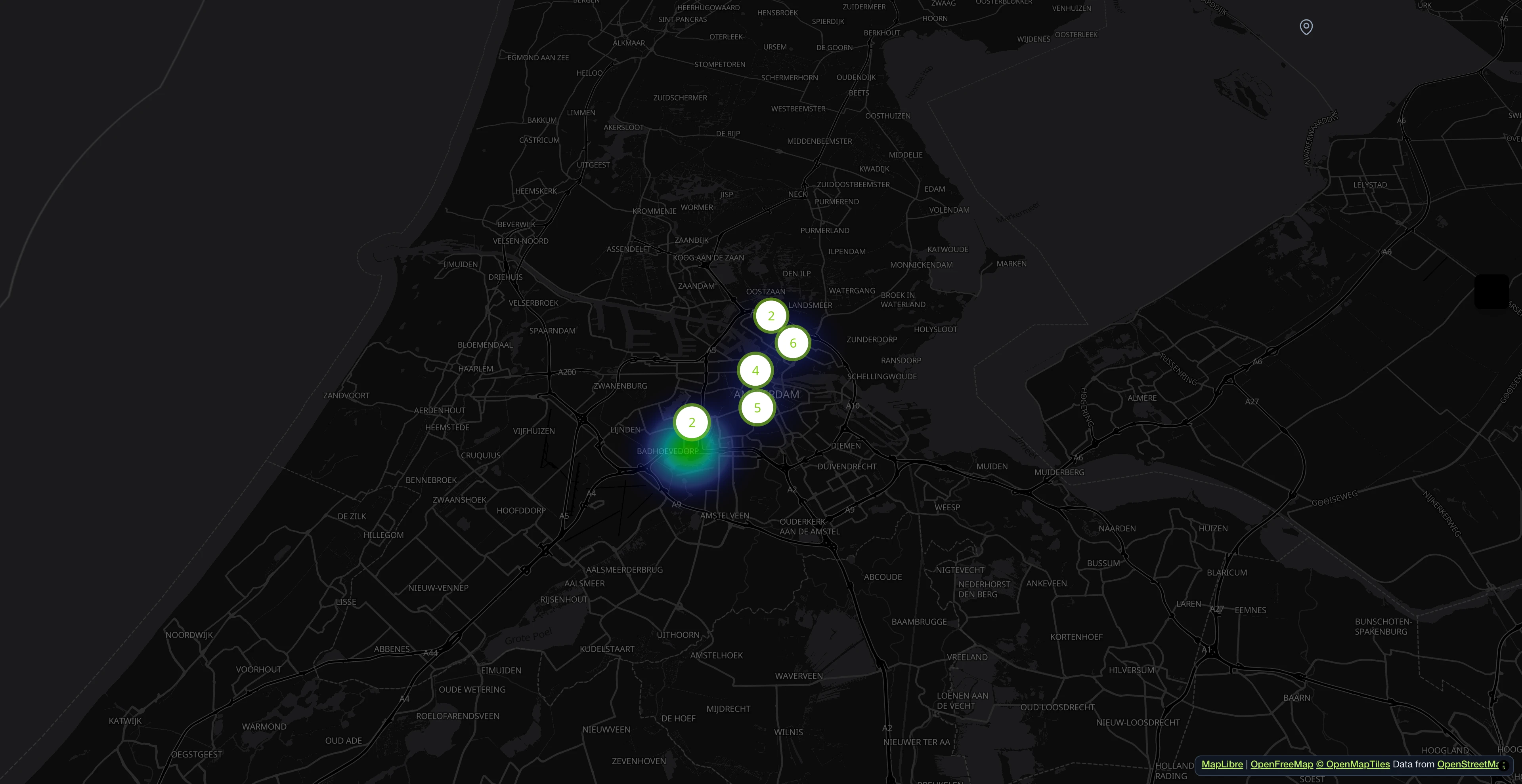
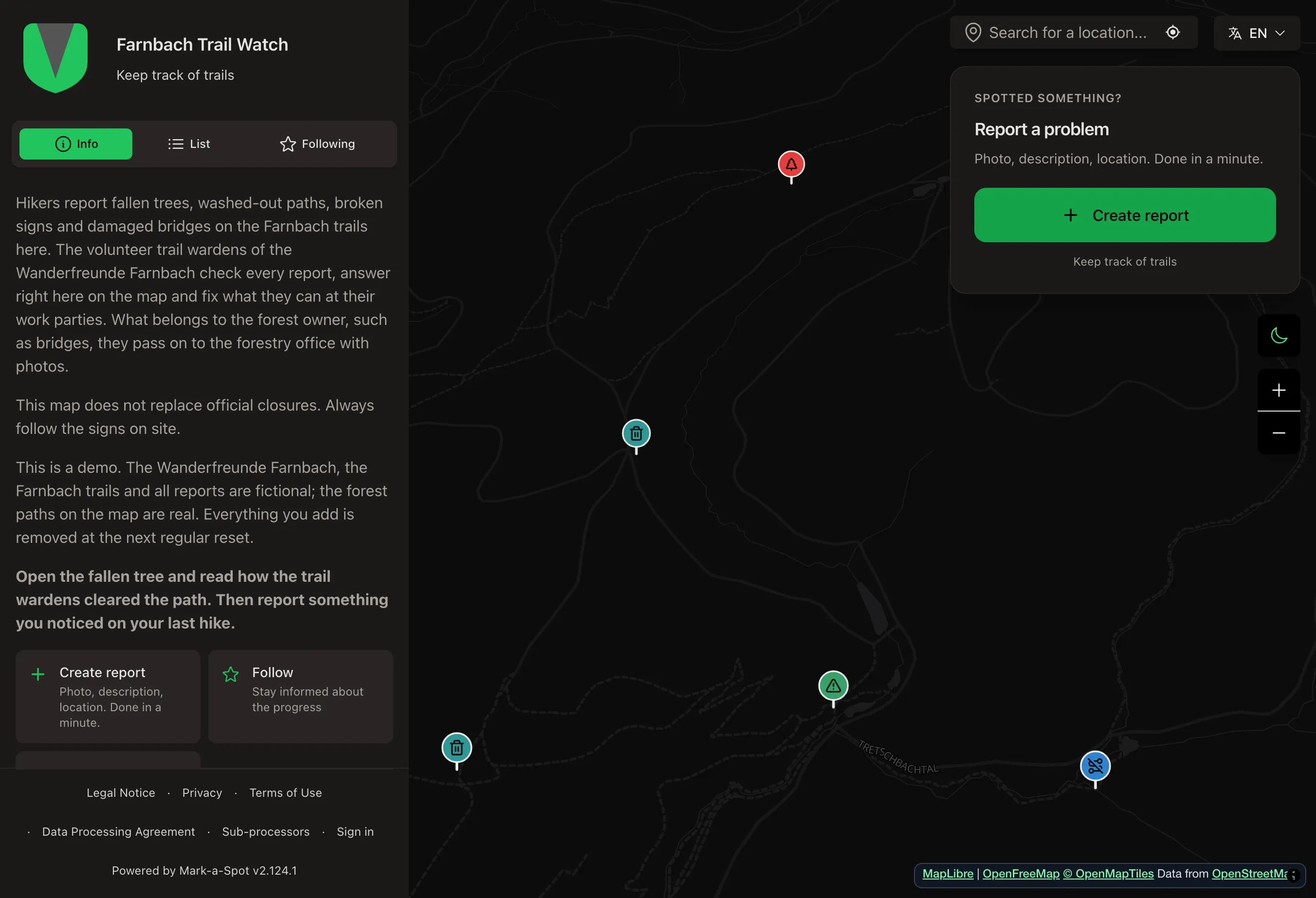
Ukázková mapa poškozených stezek s příkladovými hlášeními: co turisté hlásí a jak správci stezek cesty uvolňují.
Každá poškozená stezka na první pohled
Turisté hlásí popadané stromy, rozmáčené cesty, rozbité cedule a uvolněná zábradlí. Klub vidí, co má udělat příští brigáda.
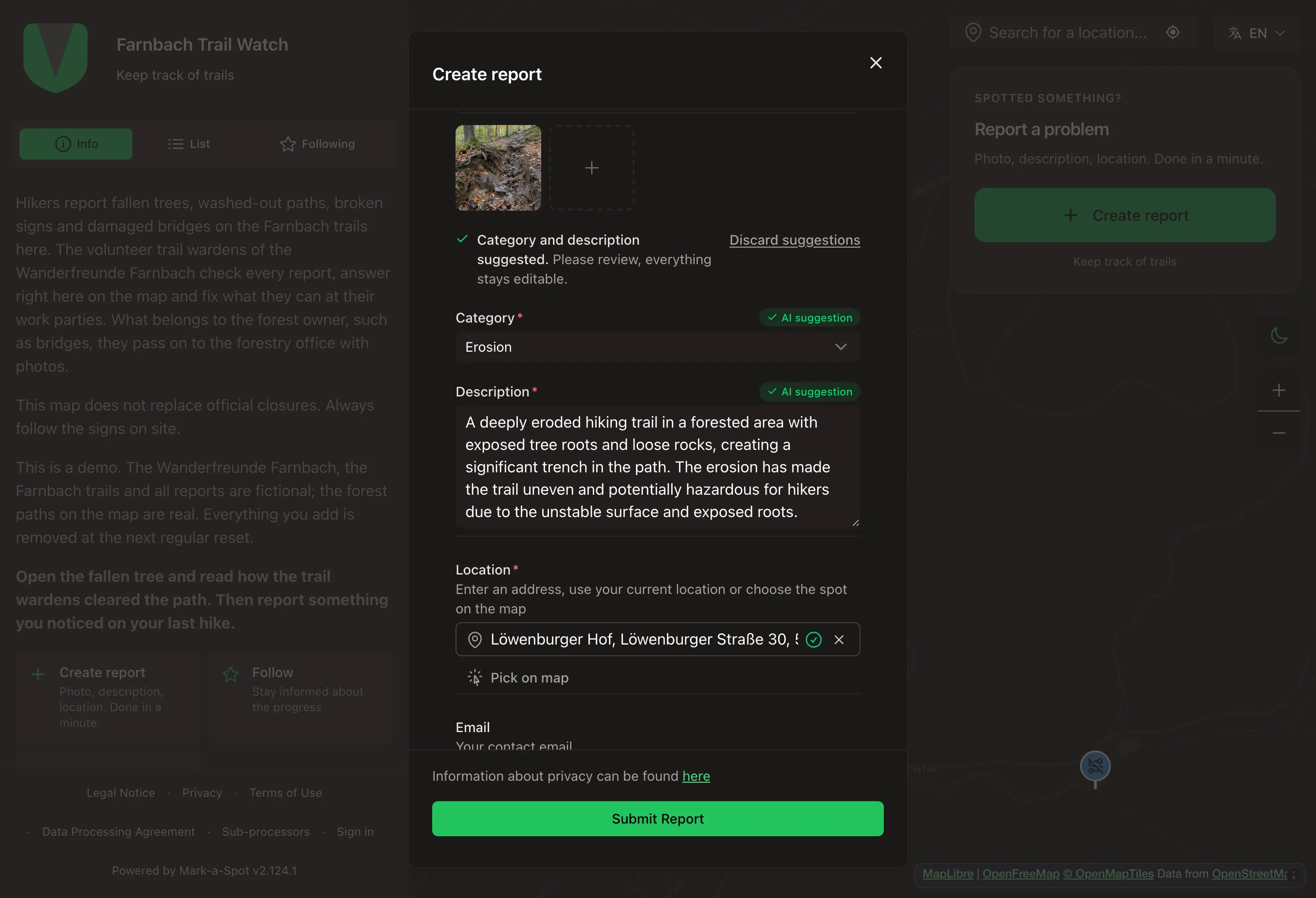
Vyfotit a AI navrhne kategorii a text
Turista vyfotí rozmáčenou cestu. AI navrhne kategorii a krátký popis, turista vše zkontroluje a hlášení odešle.
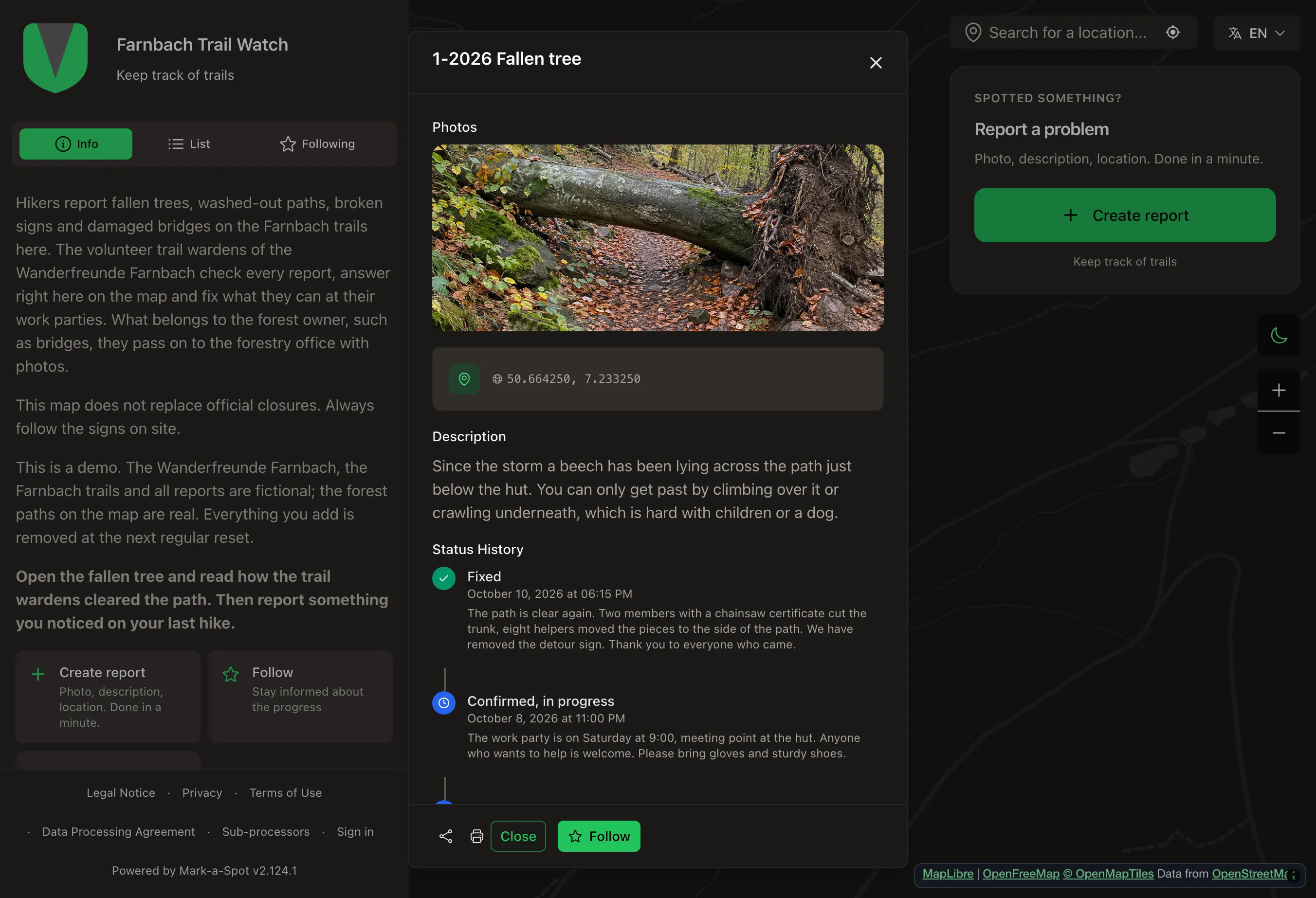
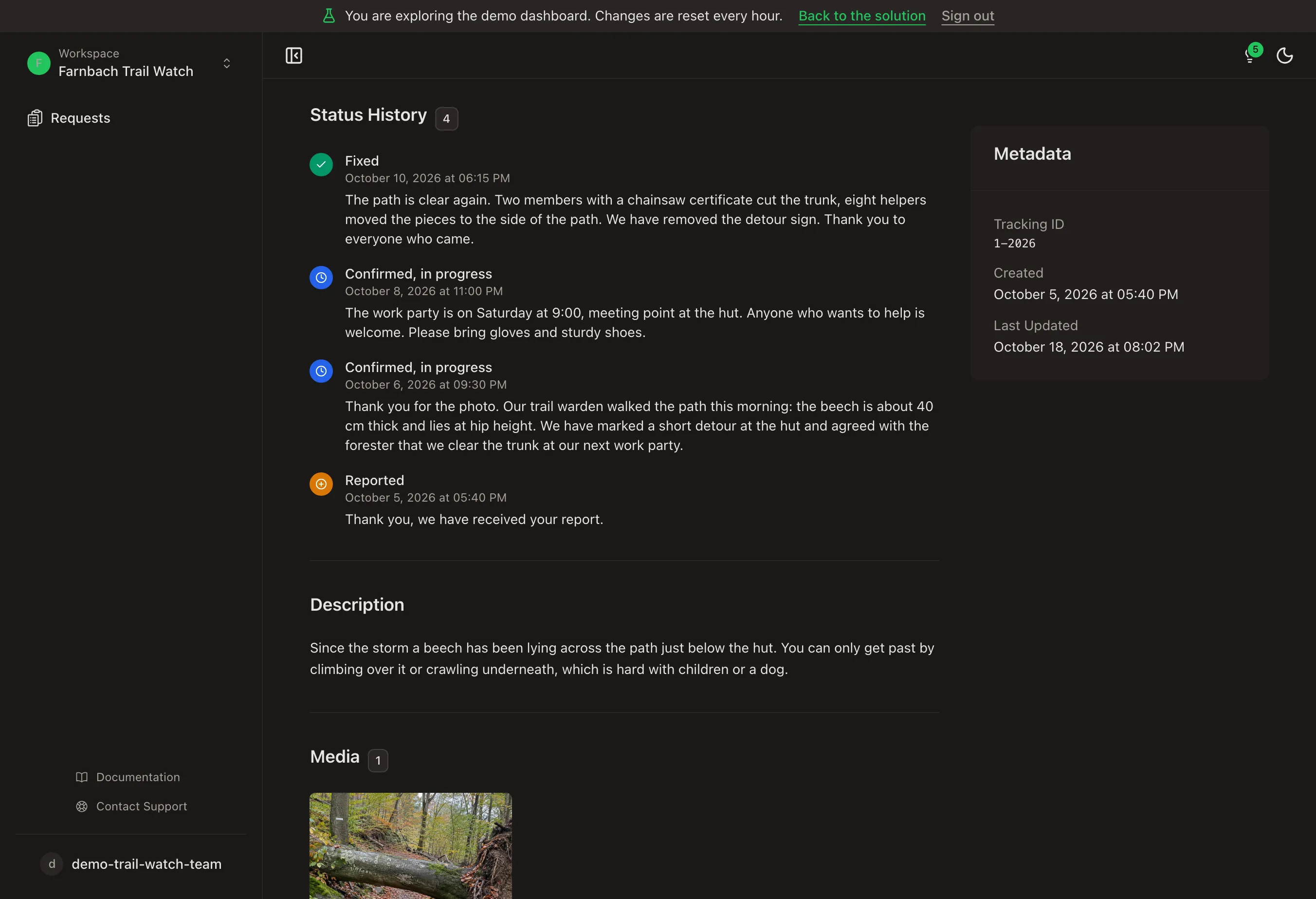
Od popadaného buku k volné cestě
Správce stezky zkontroluje místo, vyznačí objížďku a klub cestu vyklidí na brigádě. Každý krok je v historii a hlášení skončí jako vyřešené.
Všechna hlášení turistů v jednom seznamu
Správci stezek filtrují podle kategorie a stavu a podle toho, co je ještě otevřené, plánují příští brigádu.
Účet není potřeba.
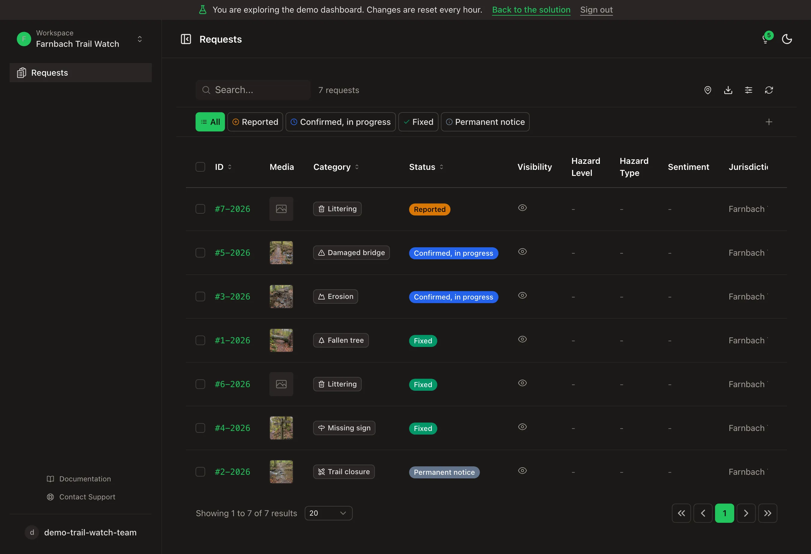
Prohlédnout si každý krok hlášení
Otevřít hlášení v dashboardu a prohlédnout si stav, veřejné odpovědi a celou historii, tak jak je vidí turistický klub.
Účet není potřeba.
- 1M+ hlášení od roku 2011
- Open Source
- Open311 GeoReport v2
- Hostováno v EU
Co je Trail Condition Tracker?
Trail condition reporting gives hikers, trail runners, and park visitors a direct way to document what they find on the path. Fallen trees blocking the route, erosion after heavy rain, damaged bridges, missing trail markers, and illegal dumping are exactly the kind of observations that park services and forestry offices need but rarely receive in structured form. Most reports arrive as phone calls or informal messages, without location data or photos.
Each report is submitted with a GPS-tagged photo and a category selected from a predefined list: fallen tree, erosion, damaged bridge, missing sign, litter, or trail closure. The photo documents the specific condition. The GPS coordinates place it accurately on the map. The team running the map gets a maintenance list sorted by location and category instead of a pile of unstructured messages, ready to hand over to park and forestry staff. The structured data feed directly into trail maintenance workflows.
Hiking associations use the map to coordinate volunteer trail maintenance across their network. The club hands its documented list over to forestry offices and national parks, which can use it in their seasonal maintenance planning. Tourism associations benefit from up-to-date trail condition data that helps visitors choose routes and reduces complaints about trail conditions.
- Trail Damage Categories
- Reports are assigned to specific damage categories: fallen tree, erosion, damaged bridge, missing sign, litter, or trail closure. Structured categories let maintenance teams sort and prioritize their work queue without reading through free-text descriptions.
- Fixed or permanent notice
- Damage is marked as repaired. Lasting conditions, such as a ford, stay visible as a permanent notice.
- Coordinate volunteers
- Hiking clubs see all reported damage in one place and plan their work days around it. Fixed damage stays visible in the history.
- Report without signal
- Without mobile signal, the report is saved and sent once there is a connection again.
Pro koho to je?
Hiking Associations & Outdoor Groups
Distribute trail monitoring across all members. Every hiker becomes a potential reporter. The association collects structured damage reports from across its entire trail network without deploying dedicated inspection staff for every route.
Handing Over to Forestry Offices & National Parks
Replace scattered phone calls and informal messages with a documented record. Each report has location, category, and photo. The club or initiative running the map can hand the list over to forestry offices and park administrations, sorted by trail segment or damage type.
Municipalities & Tourism Associations
Maintain publicly accessible trail condition maps for visitors. Current damage reports help hikers choose alternative routes and avoid trail closures. The data also supports funding applications for trail maintenance programs.
Zahrnuté kategorie
Tyto kategorie jsou součástí šablony. Po nastavení je lze v dashboardu přejmenovat, doplnit nebo odstranit.
- Fallen tree
- Erosion
- Missing sign
- Damaged bridge
- Littering
- Trail closure
Založit Trail Condition Tracker
Popište jednou větou, o co jde. Potom jsou mapa, kategorie a stavy připravené a vše můžete upravit.
Další šablony
Monitor climate impacts like heat hotspots or flooding areas on a map.
Mapovat místa
Collect georeferenced observations for research, surveys, and field studies.
Mapovat místa
Map damage after floods, storms, wildfires, earthquakes or other disasters.
Mapovat místa